The Weesper highlights at the borders of the Vecht
During these tours you will visit all kinds of places where the highlights of Weesp can be found. What you will find is a lot of information about the history of Weesp when you wander through Weesper streets and parks.
Click on the GPS coordinate and the right place will appear in the Google Maps app on your phone.
The red drop is where you need to go. The blue dot with blurred edge is where you are. By walking you will notice that the blue dot moves towards the round drop.
Press the back space button (triangle at the bottom left) to return to the tracker tour Weesp website and then go to the next coordinate.
Also pay attention to the blue colored text that is sometimes above the coordinates. The links give extra interesting information about the place.
Choose your tour here:
Wander along old buildings and small streets
Length ± 4 km, walking – 2 hours and 30 minutes
This tour is across the Weesper ramps.
Length ± 3,5 km, walking – 1 hours
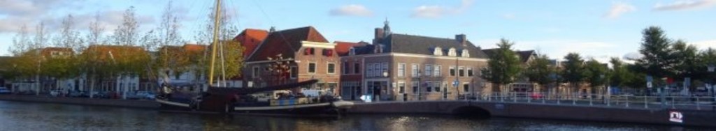
While sailing with your boat on the Vecht, this tour shows you what can be seen or could be seen on the shore
Length ± 5 km, – 3 hours (round trip) (course speed 6 to 7 km per hour)

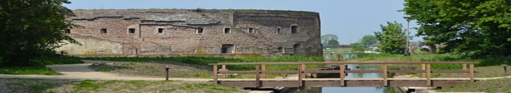
Discover what can be found on this former fortress site.
Length ± 1 km, walking – 30 minutes
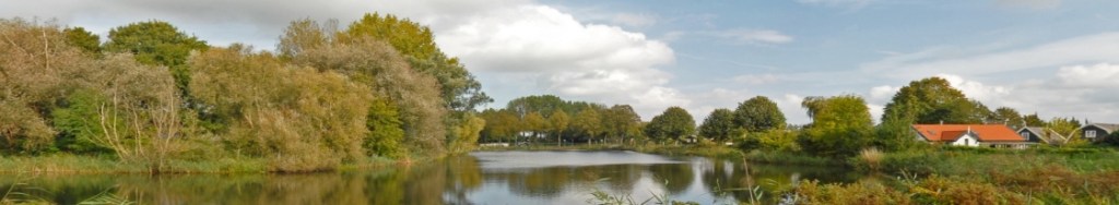
This tour can only be walked if there are few or no leaves on the trees.
On the Uitenmeer site there are many oak trees with a lot of iron in the leaves. So Google works badly here.
Taking a city walk with a guide:
Historische Kring Weesp
Boat trip on the Vecht:
De Vuurlinie (Dutch guide)
The idea and the website are intellectual property of Berry van Raay, WSPRMP Weesp.
Recorded at BBIE/BIOP.
