Even before 1355 Weesp had an earthen and wooden ramparts. The city was strategically located on the border between the area of power of the Counts of Holland and the Bishop of Utrecht.
The city, with the city rights on May 20, 1355, also got its own government. But also their own jurisdiction and the gate fee was introduced, which was necessary for the residents who wanted to exercise their own profession or business. By granting these city rights and extensions thereof by Albert of Bavaria and Emperor Charles V, Weesp became a prosperous city. The city rights also made it possible for the city to defend itself better. And from 1517 stone city walls were built.
After the French siege in 1672, under the leadership of Johan Maurits van Nassau, the defense of Weesp was considerably expanded with four bastions. Bastion Draaierschans, bastion Roozeboom, and two on the Ossenmarkt bastion Bakkerschans and bastion Nieuwe Achtkant. The state pattern of the Singel also shows that it was also part of the branch. However, this part has never become a bastion.
In September 1787, several Prussian divisions entered the Netherlands. The campaign went well and in the night of 22 to 23 September the Prussian commander Von Kalkreuth attacked Weesp. The attack failed in the darkness and rain. The guns, in support of the Prussian attack, could not be brought in by the muddy roads. The guns on the bastions of Weesp were of course not bothered by this. The guns fired at the attackers and when the locks were opened to flood the land, the Prussians withdrew.
The fortress with the Torenfort on the Ossenmarkt and the forts in the vicinity were part of the Hollandse Waterlinie (Dutch Waterfront) and later also of the Stelling van Amsterdam (Defence Line of Amsterdam). To the east of Weesp lies the Fort at Uitermeer, to the southeast the Fort at Hinderdam and to the north the fortified city of Muiden.
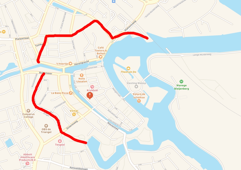
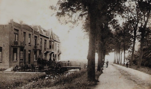
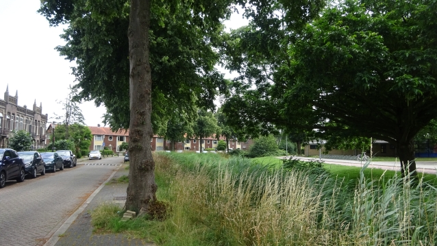
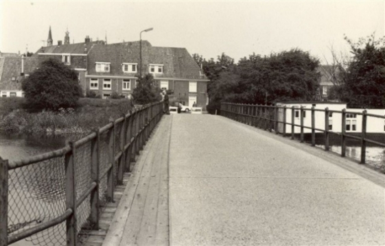
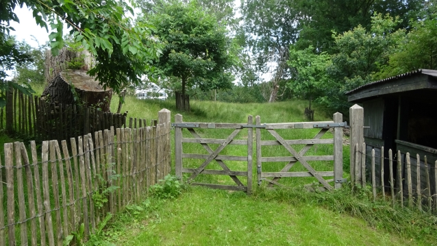
The Stationsweg
The beginning of this tour about the old fortress. This road was (then probably with a different name) part of the Fortress. As we could already read, a bastion has not been created everywhere. This also applies to this place that we now call Stationsweg.
This was the street to the old station. Here was also a transition by rail. But in the 1950s, as car and train traffic increasingly got in each other’s way, a new station and a tunnel were built in the 1970s.
52°18’39.0″N 5°02’43.5″E
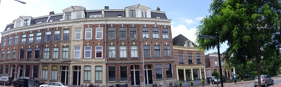
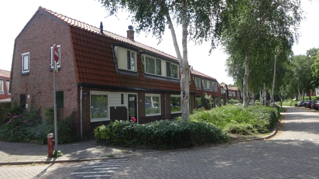
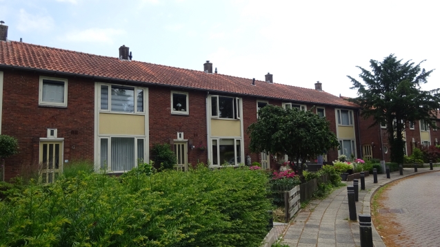
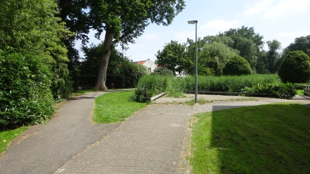
The Herensingel
You are now heading northwest on herensingel. It is striking that this street bends with the edges of the fortress in a south-westerly direction. The Singel, of which the Herensingel is also a part, encloses almost the entire fortress of the Stationsstraat (west) until the end of the Nieuwstad/ beginning of the Fijnvandraatlaan (east).
The houses on your right give an impression of what the entire Herensingel has looked like. The first high houses on your left are under monument care. Many old houses on the right side of the street where renovated in the 1960/1970.
52°18’40.7″N 5°02’31.7″E
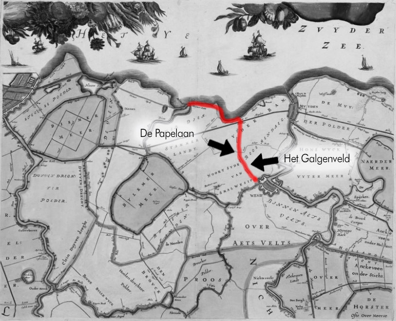
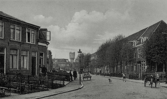
The Papenlaan
The Papelaan (Pape-avenue) is a very old access road to Weesp and ended up at the Geinpoort. What now is the Slijkstraatbrug. The old Papenlaan ran all the way to the seawall of the Zuiderzee near Muiden and on to Amsterdam.
Because it was the access road to the town of Weesp, it was a medieval custom to hang convicts on the side of the road as well. This to frighten of the people going to Weesp.
The Papelaan is probably called that because it was the road to the land of the ‘Papen’. Papen was a negative nickname for Catholics. It is known that in the Middle Ages the Catholic Church had quite a lot of land in the Bloemendalerpolder.
52°18’36.4″N 5°02’11.8″E

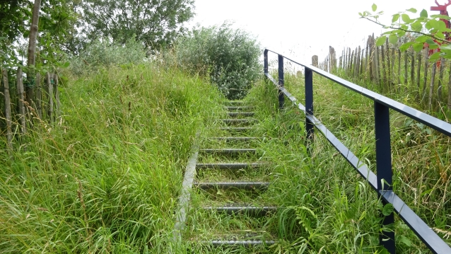
The Singel
The intention was that the northern ramp would be located on the spot where the Herensingel is now. The western ramp should have followed the route of the Singel to connect via park Zeerust (which is now Oversingel) to the ramp at the Vest, the side arm of the Vecht. In this way, the star pattern of a fortified city would have originated. That Herensingel and the Singel were intended as part of that star shape can still be seen from the kinks in both streets.
Characteristic for this part of the canal are the picturesque dike houses on the left. Here you can see that in the past here has started to raise to create a bastion.
52°18’25.1″N 5°02’12.1″E
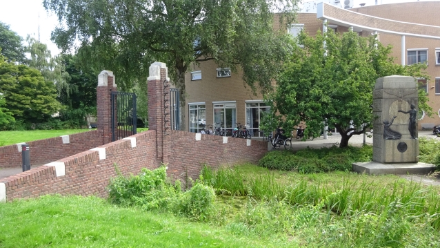
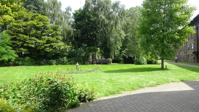
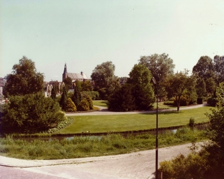
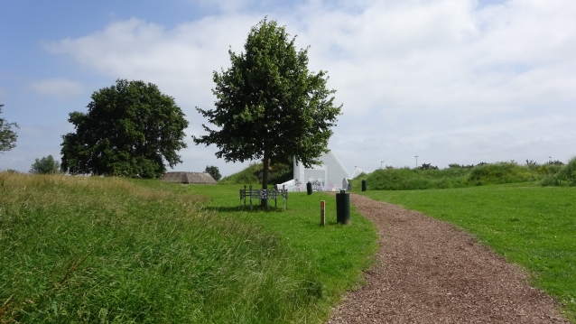
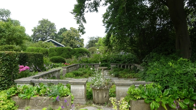
De Oversingel
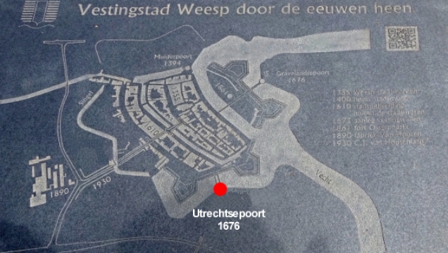
When you have completely finished the Singel, cross over. On both sides of the street, you can see a large marble slab. On it is an overview of the old fortress.
What immediately stands out is the gate that used to give access to Park Zeerust. But now gives access to care home Oversingel. Right past the gate you can see the van Houten monument.
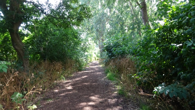
You can continue your way by passing the care home on the left through the park.
52°18’18.0″N 5°02’20.9″E
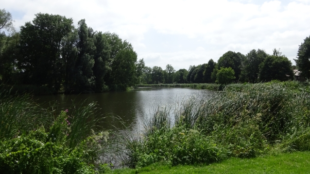
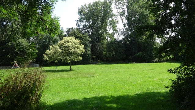
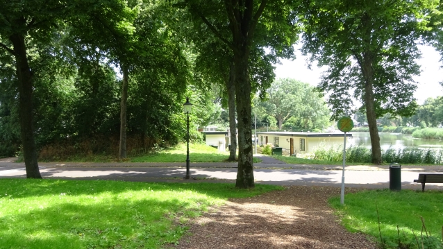
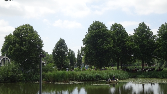
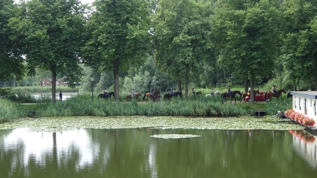
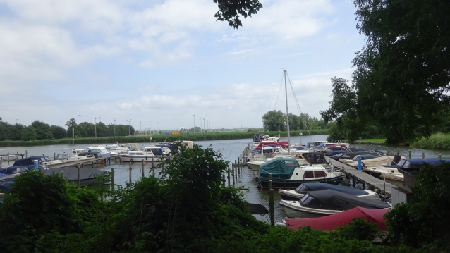
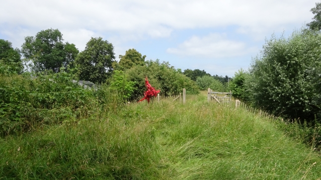
De Vest
This part of the fortress and a sort of lake attached to de Vecht used to be a skating rink in cold winters, when the water froze here. The light towers, which have stood here for decades, were removed in March 2021.
52°18’15.8″N 5°02’28.8″E

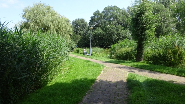
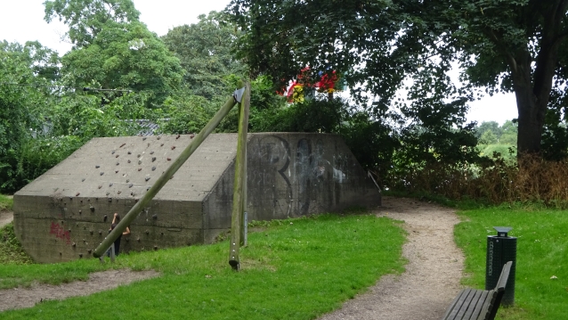
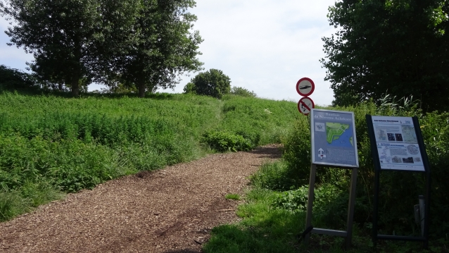
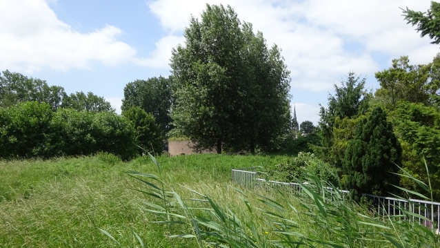
Bastion Draaierschans
The 2nd world war did not certainly pass by Weesp.
Since 1935, disturbances between supporters and opponents of the NSB have created a grim atmosphere in Weesp. On August 24, 1939, the pre-mobilization was proclaimed. And because Weesp as a fortified city still plays a role in the defense of Amsterdam, more and more soldiers are coming to Weesp. The bastions and therefore also the Bastion Draaiersschans were provided with bunkers in 1939. And at the beginning of 1940, out of a population of 7072 inhabitants, 3500 Dutch soldiers were also stationed in and around the center.
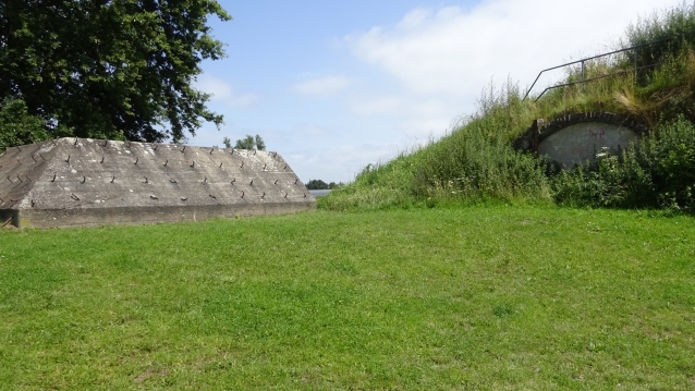
15 bunkers are being built in and around Weesp. The Bunker you are now standing with is of type P and served as a shelter and was part of a shelter group that were spread throughout Weesp
Other layers on the Aetsveldseweg, C.J. Van Houtenlaan, Bastion Roozeboom, Bastion Nieuw Achtkant, Nijverheidslaan. Only on the Bastin Draaierschans, Bastion Roozeboom and the Bastion Nieuw Achtkant you can still see them.
There were also 7 cast steel Dome Cases around Weesp. There is only a remnant visible on Bastion Nieuw Achtkant where the opening has been made to the Vecht.
As can be seen, the entrance to this bunker is also under the sand. And is not on display.
52°18’13.4″N 5°02’35.3″E
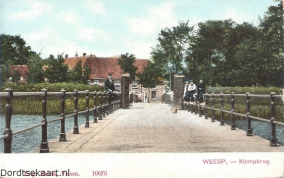
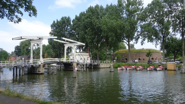
Gate ‘De Utrechtse Poort’ & De Klompbrug (Klomp bridge)
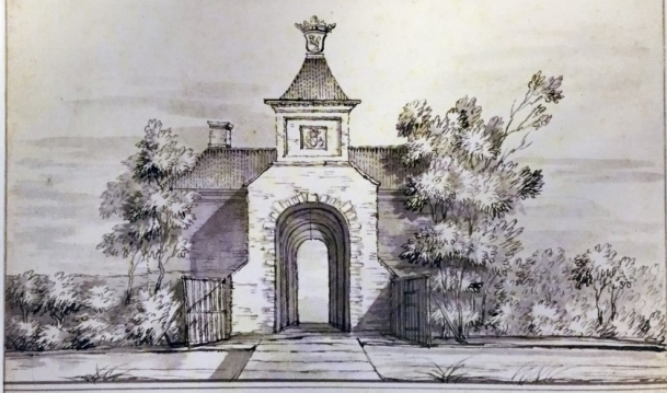
‘De Utrechtse poort was one of the city gates of Weesp on, as the name suggests, the road from Utrecht. The gate was built between 1674 and 1676 and demolished again in the mid-nineteenth century’: according to the Weesper Nieuws.
In the creation of the Draaier and Roozenboom Bastion, this spur of the fight was also involved. Over this spur came the Klompbrug. With the Klompstraat over it.
52°18’15.6″N 5°02’41.7″E
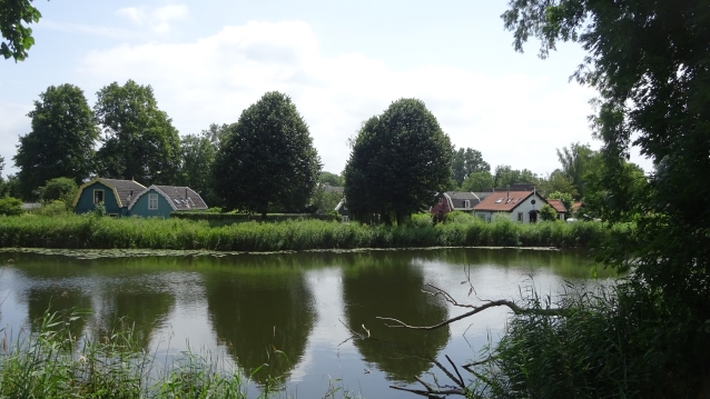
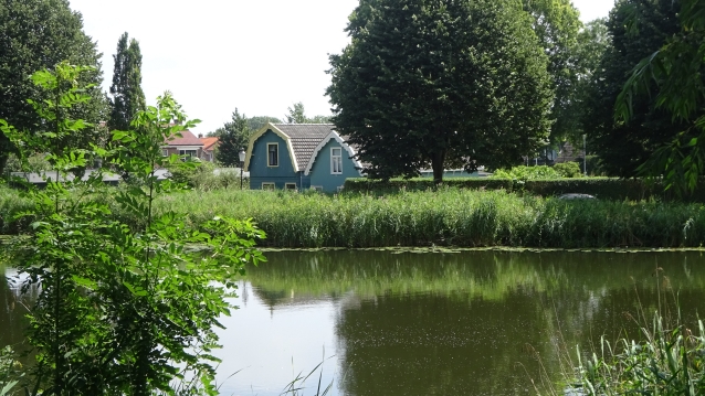
Bastion Roozenboom
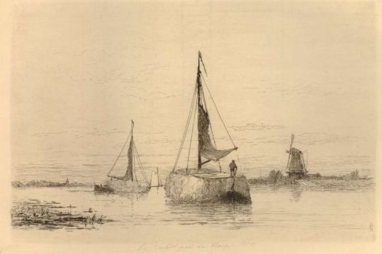
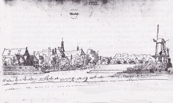
On the “Bastion Roozenboom” there was an octagonal mill. It is unclear whether the bastion is named after the mill or the windmill after the bastion. Weesp probably had eleven mills of which the Roosenboom was one of them. The Roozenboom probably stood, as can be seen in the drawing by the artist Carel Nicolaas Storm van ’s Gravesande, on the Vecht at the tip of the bastion. The works of Storm van ’s Gravesande can be seen in Detroit Institute of Arts Together with “Bastion
Draaierschans”, “Bastion de Roozenboom” forms the “Utrecht front”.
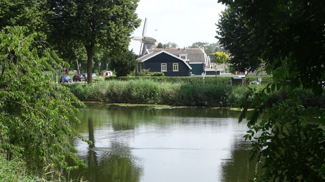
From the bastions of the Utrecht front you have a good view of the so-called Fire Line houses.
One of the regulations around the Bastions was to have a free firing range, also called the line of fire.
For a long time there was no construction here and you must have had a beautiful view over the fields. And you could see the enemy coming from afar.
At the end of 1800, the regulations were relaxed and construction was allowed on the Utrechtse weg, which is on the other side of the water.
These houses had to be built of wood. So that when approaching the enemy they could be quickly set on fire in order to get an open field of fire again. That is why these houses are called “Fire Line houses”.
52°18’16.8″N 5°02’49.7″E
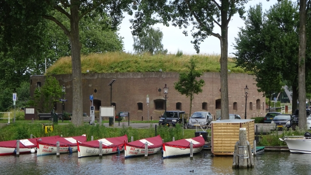
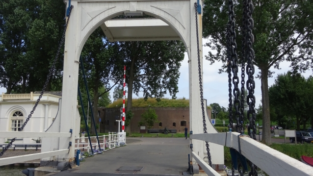
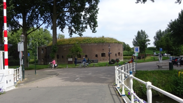
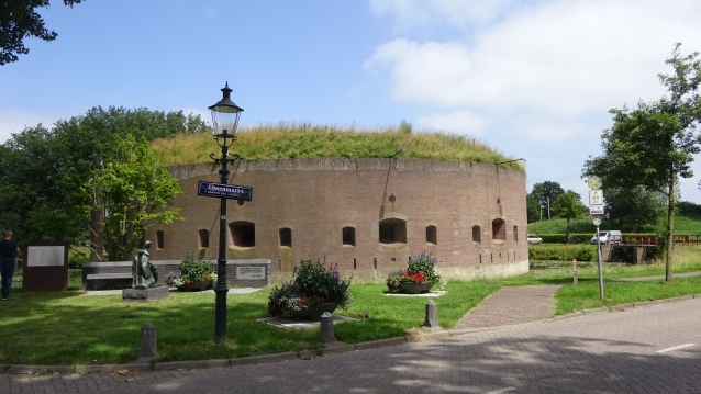
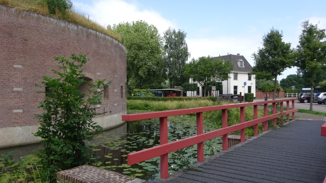
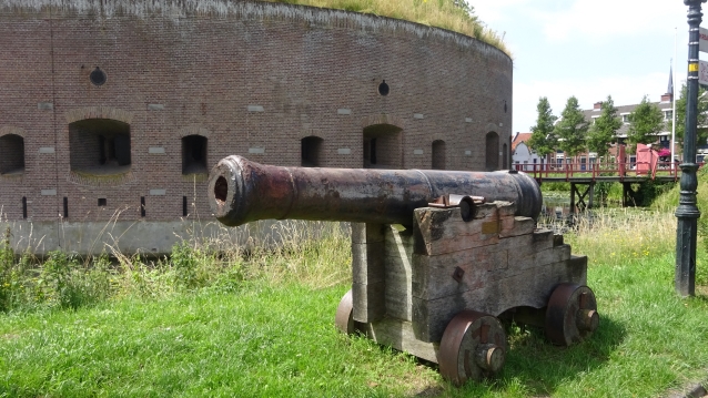
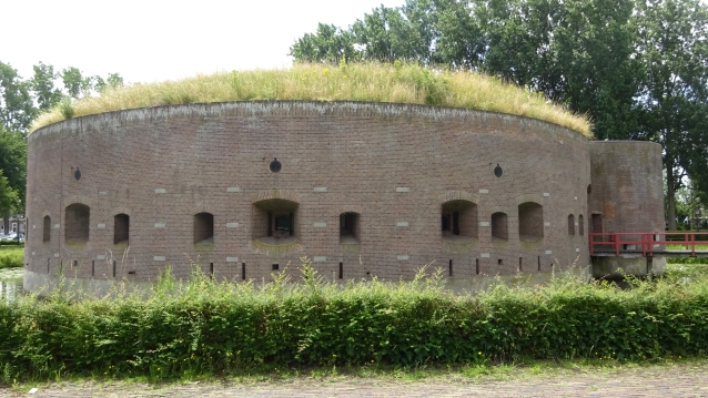

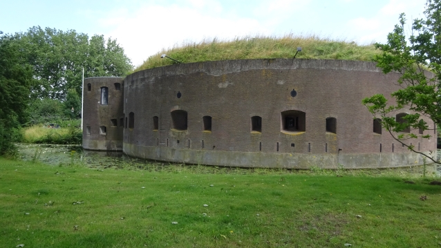
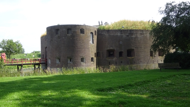
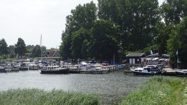
Fort Ossenmarkt
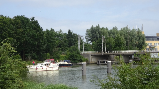
The characteristic Torenfort (Towerfort) was built in 1861. Construction took about two years. From 1892 the fort was part of the Stelling van Amsterdam.
In the early twentieth century, an additional cover wall was built on the east side of the fortress. At the same time, part of the canal was muffled and the drawbridge that gave access to the fort was also demolished.
During the restoration works from 1983 to 1985, the shore was excavated again and the canals and bridge were restored.
52°18’26.4″N 5°02’44.0″E

Bastion Nieuwe Agtkant
Just like the Roozenboom, this bastion is named after the mill that stood on it. Mill de Nieuwe Agtkant.
At Bastion de Nieuwe Agtkant you can literally experience the Waterline yourself. In the centuries-old defensive wall an opening has been made so that the visitor can walk through the old shore and experience the thickness of such an earthen wall and see the differences in height between the 17th – and 19th century city wall. And it’s a nice way to get to the water that runs around the city! The shore is part of Bastion Nieuw Achtkant, which at the same time as making this cross section, in 2011, has been completely reconstructed to the end of the 19th century situation.
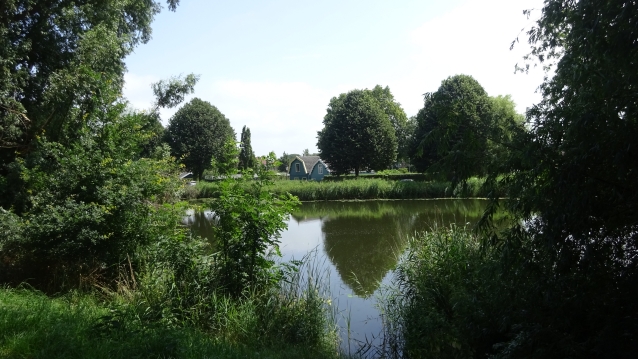
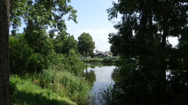
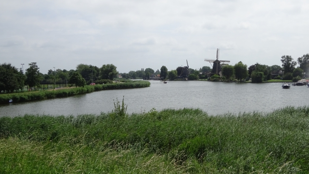
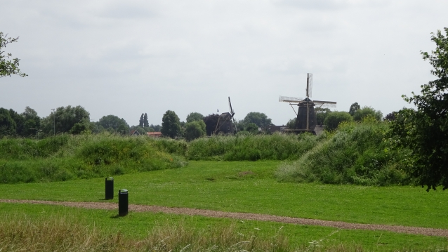
From here you have a nice view of the two Windmills on the Vecht. See the points below in this tour Molen de Eendracht and Molen de Vriendschap.
52°18’27.0″N 5°02’47.8″E
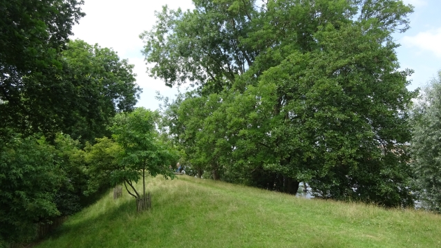

Bastion Bakkerschans
This Bastion Bakkerschans dates from 1674 and is surrounded by a fortified wall with stately old trees. Located on the north side of the Ossenmarkt, the bastion Nieuwe Achter, together with the bastion Nieuwe Achter on the south side of the Ossenmarkt, forms the ‘s-Gravelandse Front.
52°18’32.6″N 5°02’42.0″E
Time for a terrace or eat in one of the restaurants of Weesp
Thanks for doing this tour
Also try The City-Center Tour
Sources, photos and quotes: routeyou.com, Wikipedia, vestingweesp.nl wsrpmp, bunkerinfo.nl If this list is not complete, please let us know at wsprmp@outlook.com
Intellectual property of
Berry van Raay, WSPRMP Weesp

.jpg)